Making the Central Business District (CBD) More Liveable for Singaporeans: What More Is Needed?
- Source
- ERA Singapore
- Published
- 10 Sept 2026
- Category
- Blogs

What makes a city feel like home? There is no one-size-fits-all answer, but the world’s most liveable cities have much in common when it comes to making everyday life easier and more comfortable.
Each year, the Economist Intelligence Unit (which, yes, is part of the same group behind The Economist publication) ranks cities worldwide across several benchmarks. These include national stability, infrastructure, healthcare, culture and environment, and education, all of which come together to form the basis of the EIU’s Global Liveability Index (GLI)
In the GLI’s latest 2026 rankings, Singapore placed 26th among 173 cities assessed. And while it did not top the charts, Singapore did maintain high scores across most indicators, which helped secure its place among the top-performing cites in Asia this year.
But beyond being a strong showing on the international stage, this performance, or more specifically, some of the indicators behind it, may provide a useful framework for looking at liveability on a smaller scale.
Applied to Singapore’s Central Business District (CBD), these yardsticks offer a way to assess how well the downtown core and its surrounding areas have performed, not just as places to work, but also as liveable spaces for Singaporeans to call home.
Singapore’s CBD and its adjoining precincts: How have they evolved over the years?
Long before liveability became part of the conversation, the CBD was shaped around a primary aim, which was to enable Singapore’s rise as a modern business and financial centre from the 1970s onwards.
To achieve this, government-led efforts were necessary to drive urban renewal. Land around the Singapore River was acquired for redevelopment under the 1966 Land Acquisition Act, while the introduction of the “Sale of Sites” programme in 1967 (better known as the “Government Land Sales” or GLS programme today) helped bring new private developments into the city centre and accelerate the formation of Singapore’s modern skyline.
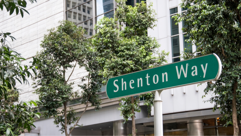
By the late 1970s, the CBD’s emergence had become increasingly visible in precincts like Raffles Place and Shenton Way. It was during this period that iconic high-rise office towers such as Hong Leong Building, OCBC Centre, UOB Plaza One and Singapore Land Tower emerged as early symbols of Singapore’s ambition of becoming a regional financial hub.
At the same time, the CBD’s growth was not limited to just taller buildings. Large-scale reclamation works during the 1970s and 1980s were also steadily extending Singapore’s coastlines beyond the historic waterfronts of Collyer Quay and Shenton Way. This would allow for the creation of new land masses that eventually became Marina Bay, as well as the CBD-adjacent Marina South district. Further east, reclamation along the coastline adjoining Tanjong Rhu and Katong would also give rise to what is now Marina East today.
Together, these land reclamation efforts helped overcome a key constraint on Singapore’s development: its limited land supply. And with more space, urban planners could now re-think what the downtown core would offer. For instance, in Marina Bay, the traditional office-centric CBD model was expanded to incorporate hotels, entertainment, public spaces and private homes alongside workplaces.
This shift towards more diverse, mixed-use development would eventually find its way back into the original city centre as well. In 2019, urban planning initiatives such as the CBD Incentive Scheme (CBDI) and Strategic Development Incentive (SDI) were introduced to encourage the rejuvenation of older commercial or mixed-use buildings both within more traditional CBD locations (e.g., Anson Street, Cecil Street, Robinson Road, Shenton Way, Tanjong Pagar) and throughout the wider Central Region, including Orchard Road.
In this light, the CBDI and SDI schemes can be seen to be the latest chapters in broadening the CBD’s role. But just how far can such efforts realistically go in creating a more liveable environment for locals? The answer is unlikely to lie within the CBD itself, given the inherent challenges of reshaping an already mature commercial centre.
Will the CBD ever be as liveable as a traditional Singapore neighbourhood?
In Singapore, the majority of residential neighbourhoods are supported by a broad mix of everyday conveniences and amenities, ranging from schools and healthcare facilities to wet markets and hawker centres. Public housing, however, remains one of the most crucial elements. With HDB flats housing close to 80% of Singapore’s resident population, they are undeniably a key feature of what makes our suburban neighbourhoods tick.
Most of the Downtown Core, by comparison, houses little to none of this heartland-friendly infrastructure and public housing developments within its existing urban fabric, save for select neighbourhoods with a stronger residential character, such as Tanjong Pagar.
Even so, the feasible approach to creating greater liveability within the Downtown Core does not involve introducing missing amenities and public housing wholesale, as forcing every element of a traditional Singapore neighbourhood into the CBD would be anything but costly and impractical. This is given the inherent constraints of redeveloping an already established business district, where challenges like limited space, higher land costs, and fragmented ownership across properties are likely to hinder a large-scale transformation.
Instead, the focus on increasing liveability can be better placed on adjoining precincts with sufficient land to accommodate residential life from the onset. Marina South and Marina East are especially relevant in this regard, as they can offer the space and planning flexibility to create new townships, sans the constraints posed by the CBD’s existing built environment.
How Marina South and Marina East can pave the way for a more liveable downtown Singapore
With more available land and fewer developmental roadblocks than the CBD, both Marina South and Marina East offer greater freedom to plan for liveability in downtown Singapore – this is also where the EIU’s benchmarks come back into play.
Setting aside political stability, which is already firmly established on a national level in Singapore’s case, infrastructure, culture and environment, healthcare, as well as education can be adapted as useful lenses through which the liveability of both CBD-adjacent precincts can be evaluated. Furthermore, these indicators need not be considered purely in the context of future plans, as several completed and ongoing developments have already put in place the foundations for well-rounded neighbourhoods.
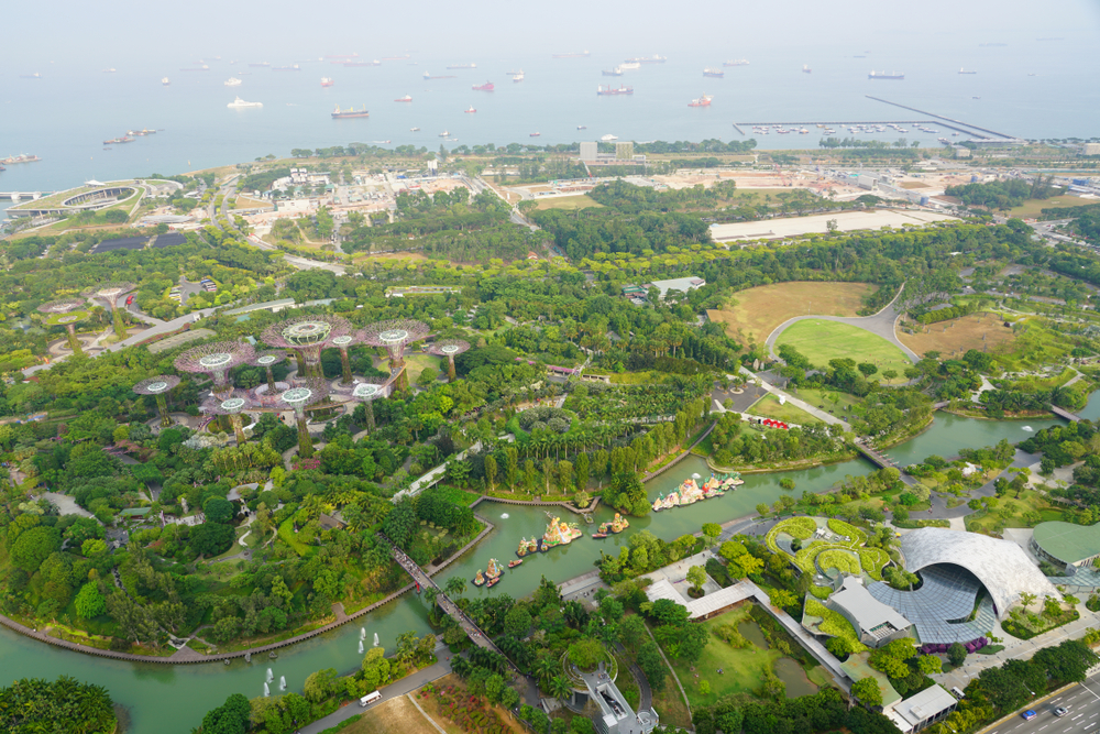
Presently, Marina South is served by Gardens by the Bay MRT station on the Thomson-East Coast Line, which connects it to several key destinations, including Raffles Place, , Marina Bay Financial Centre and Orchard Road. This advantage will be strengthened by the eventual opening of Marina South MRT station, which will bring rail connectivity directly to the doorstep of future homes.
Beyond transport infrastructure, the progressive release of GLS sites has also laid the foundations for residential housing in Marina South. The precinct’s first successfully-tendered GLS site at Marina Gardens Lane was won by a Kingsford Group-led consortium in July 2023, and has since given rise to One Marina Gardens. Over its launch weekend in June this year, the 937-unit project sold 38 percent of its units, thus providing the first injection of private housing into the neighbourhood.
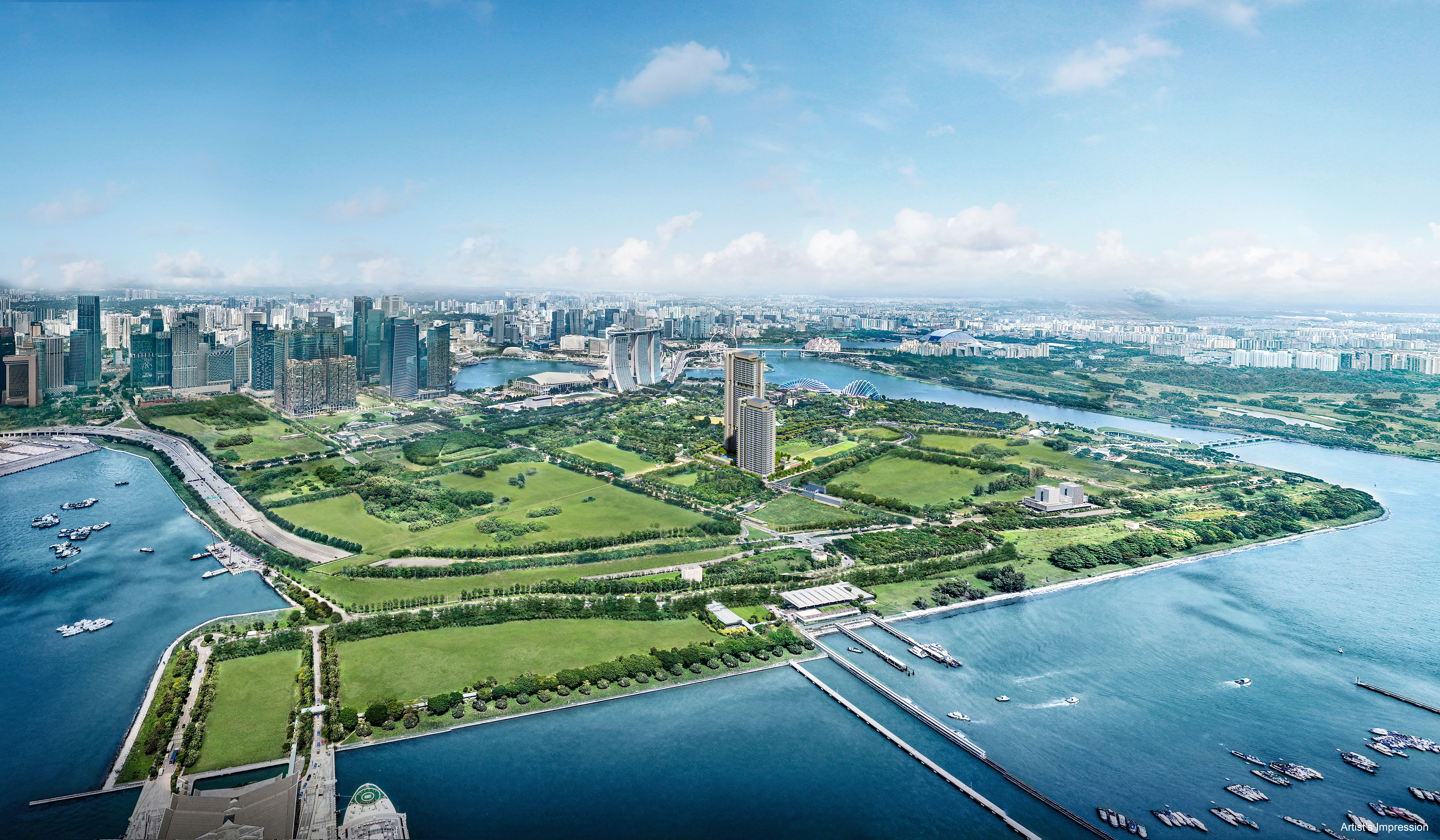
Even more recently, another GLS site at Marina Gardens Lane was launched for public tender on 13 August 2026. Capable of yielding around 390 units, it too represents a next step towards establishing Marina South as a waterfront precinct with over 10,000 public and private homes.
On the culture and environment front, Marina South benefits greatly from its proximity to Gardens by the Bay. The nearby national park offers future residents not only extensive greenery and recreational space, but also access to landmark attractions such as the Supertree Grove and iconic domed conservatories along Marina Bay’s coastline.
In contrast, when it comes to healthcare and education, the liveability picture is less clear. Unlike more established residential towns, Marina South currently lacks schools and major healthcare facilities. Public housing is yet another missing component, with the residential pipeline announced thus far centred on private homes.
Marina East could, however, provide more room to address some of these gaps over time. Much of the 140-hectare precinct remains undeveloped, giving planners greater flexibility to integrate housing with supporting infrastructure. For now, though, what that future neighbourhood might look like remains largely an open question. Detailed land-use plans have not yet been revealed for Marina East, leaving some uncertainty as to whether schools, healthcare facilities or public housing will eventually be included within its future development mix.
Be that as it may, realising the potential of Marina South and Marina East is likely still the best step forward in making the wider downtown more liveable. Thoughtfully planned, both precincts will add greater housing choices and everyday amenities to complement our CBD, ultimately making it feel less like a workplace and more of a home for Singaporeans.